3D Laser Scanner and Point Cloud
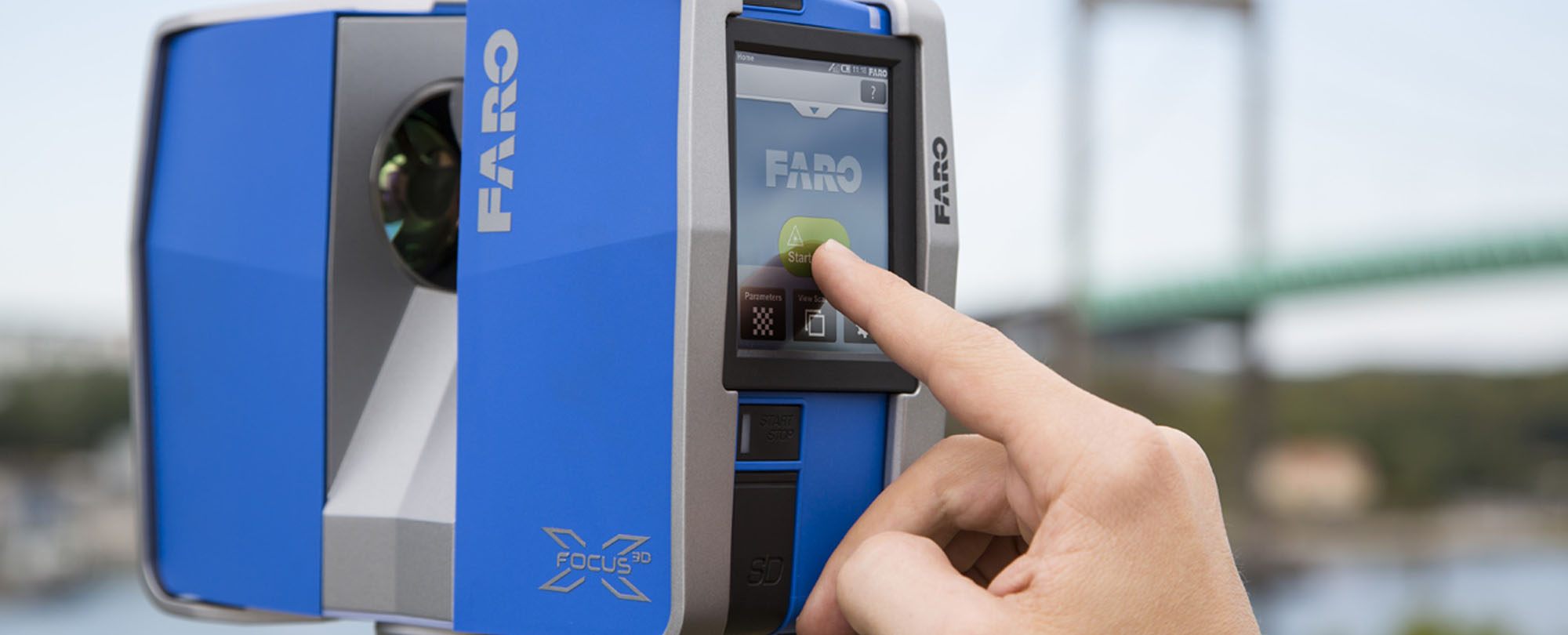
Let’s know more about 3D Laser Scanner that helps to scan wide area fast and precise with high accuracy. Using 3D laser scanners in construction brings in sharpness and rapidity in surveying and documentation.
What is the use of 3D Laser Scanner in Point Cloud?
- Laser scanners help in generating profound 3D point clouds of complex objects or structures in a matter of few minutes which develops virtual data of the actual thing.
- The 3D Laser Scanner data representation is in millions of 3D points. It provides a precise digital representation of actual object/structure.
- It digitally collects all the required documentation for procurement, engineering, investigation, and construction – in good detail.
- The use of Laser Scanners avoids the tiring and erroneous task of collection of data with the help of tape measures, digital cameras, laser range finders, and total stations that requires additional effort and risk.
Several construction projects use the services of the companies which use laser scanners for point cloud modeling because they collect accurate spatial data in short time. The accuracy of data collection, as well as the time efficiency that laser scanners offer, makes it a choice for surveying, archaeology and film companies as well.
Significant use of HD Laser Scanners can use for below precise implementations:
- Decreases frequent site visits
- Detailed measurements
- Digital 3D images
- Gathers accurate data
- Progress in construction
- Surveying the areas tough to reach
- Video Surveying
- Transforms normal view to 3D real-time view
How different laser scanners work?
There are various types of laser scanning that work using some technicalities:
Close range scanning: Sub “mm” small structures or highly elaborated surfaces collected from a range below 0.5m away.
Airborne scanning: This type of scanning proves helpful for collecting measurements of large areas with the help of helicopters.
Terrestrial scanning: Here the range of scanning varies from 20m to 2km based on the equipment, and the accuracy varies from 3mm to 100mm.
How does it work?
The scanners gather measurements of an area in millions of dots/points in a very short interval of time. The collection of measurements get plots in an XYZ coordinate system furthermore to develop a ‘point cloud’ of the outer surface of the object. Using GPS, the collection of points are ready for geo-referencing thus helps in modifying to a global reference system.
Developing of 3D dataset needs gathering of several data clouds from various viewpoints adjoining using the similar features.
Let’s see an example: The scans of the building is documented together to combine the scan data from the inside of the building also. As a result, 3D data can further use for planning, visualization, and modeling in 3D. Hence, the point cloud data can utilize to take measurements without physically taking each measurement of the real-site.
The point cloud data can use to gather varying measurements rather than physically moving to a site and taking the measurements. And Point cloud data also can prepare the basis of an advanced dataset mainly with profound spatial data. Example; photographic imagery can apply to develop color point cloud thus, the 3D Vector data can overlay to map the cables and pipes accurately.
Furthermore, the technology is also called by different names like 3D Laser surveying of High-definition surveying and 3D Laser Imaging. The technology is significantly used in point cloud modeling probably for the better performance and impressive output.