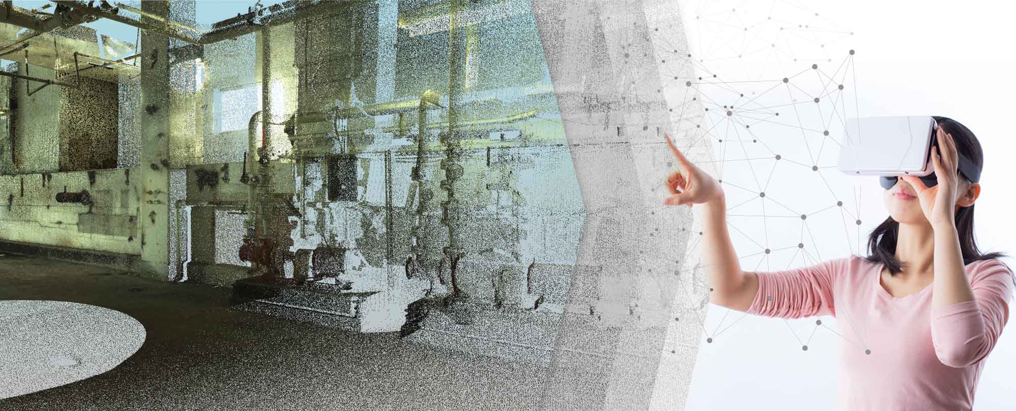
There seems tremendous evolution in the construction sector from past decade. With the advent of 3D Laser Scanning, it has become simple and easy for the developers to handle the robust data. As the technology tends to improve in increasing speed, the construction industry has innovated to produce lighter and more comfortable ways to manage 3D Point Cloud models. In addition to that, 3D Point Cloud data visualization technology has significantly marked its way.
One more technology which is spreading roots in the construction scenario is Virtual Reality. The technology already has made its way into homes across the US, as the VR Goggles provides infinite entertainment. At first glance, the virtual reality Goggles are for kids and gaming but look over again… don’t you think, Professionals and experts all over the AEC industry can experience anything, anywhere and take advantage of virtual reality in the construction sector?
What are Point Clouds?
The Point Clouds are merely the collection of data generated by the 3D scanning technology using FARO 3D scanner. The fundamental thing when capturing a 3D object is that the 3D scanners input a single point wherever the light beam touches a surface. Millions of these points are generated when scanning even the smallest objects; this robust data can be challenging to manage.
There are numerous software’s that are capable of rendering point clouds in real time for interactive 3D visualization of a scan. The future of point clouds has two potential visions. In the first instance; collecting metadata along with a point cloud and second; creating an independent, intelligent 3D model of a mesh.
3D scanning in Internet of Things (IoT)
To unbox the first instance, supplying the metadata to intelligent IoT systems could help the machines to respond better to certain conditions. Information such as the location, color, scale and how point relates to other points can contribute to the progress of areas like Virtual Reality (VR).
But why we attach metadata to the point cloud?
The metadata’s (like BIM Information) is usually stored in the meshes or components we define using the auto-extraction software. These software’s known as Vector models. The main issue with vector models is there is no efficient way of rendering them.
Whereas, point clouds are much faster to render if we ‘bake’ them. Well, if we use the point cloud as a means of storing our metadata, that would be a lot easier to navigate and manage more efficiently with higher precisions and exact storage of information.
Virtual reality is the primary topic for most of the companies in the present scenario as it boasts real-world applications beyond the video games. The 3D software giants have integrated their 3D experiences allowing the users an enriching perspective on their 3D designs.
While in the second instance, baking the point clouds will undoubtedly give faster and authentic access to 3D visualization.
Point cloud in Virtual Reality
Delve yourself into any existing Point Cloud. The VR Goggles will provide you close look at as-built data. The viewers can move from scan world throughout the point cloud. The measurements, and the information is displayed, and also the hyperlinks available. The whole BIM models can upload and merged for immersive visual inspection. Thus, virtual reality can help the building professionals in exceptional ways.
Within less than a second, you can imagine a 3D landscape that is large enough and can stretched off to the horizon. You can use also zoom in on individuals that scattered across the ground.
It is undoubtedly a good thing, an added interesting perspective for gamers too! Merging the point cloud data as a surface instead of using polygons could surely give more realistic virtual worlds.
With the assist of Virtual reality, we are super ready for a digital walk on the moon, what about you?
Imagine entire planet surveyed with LIDAR (Light Detection and Ranging) and viewed in real-time!
